From the second foot bridge, the trail climbed up the ridge and continued through though dry, open woods again. It wound around the top of the ridge before curling around and back down to the emergency exit trail. The trail then curved south to a viewing platform that overlooked the Alcovy River before heading back north to the trailhead.
 *****
***** This tree beside the trail up to the ridge from the footbridge had two scars from blazes that had been made many years ago.
  Some cyclists passed me at the top of the ridge.
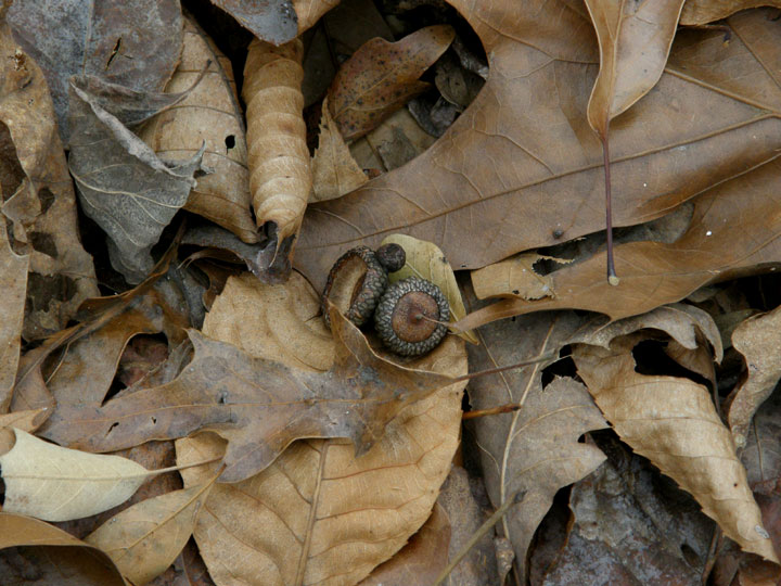 The ground was covered with oak leaves. Acorns scattered among them lent pretty patterns to the forest floor. Although they were small, they did stand out among the leaves.
 The trail heading north towards the emergency exit trail. For some reason, the embankment added a pleasing accent to the line of the trail.
After passing the emergency exit trail, the hiking trail turned south to the viewing platform above the Alcovy River. The ecosystem here was also strikingly different from the surrounding woods. It was quite a surprise to emerge into an open area with a boulder floor.
 Immediately to the left was a carpet of Reindeer lichens (Cladonia sp.) and some Yucca plants, some of which had bloomed judging by the dead flower stalks.
 The trail turned right to a large viewing platform that could accommodate many people.
 Another carpet of lichen and Yucca plants lay on the north side of the platform.
 The Alcovy River flows eastwards in the valley on the south side of the platform. I suspect the river might overflow its banks in this area after a heavy rainfall.
 Cedars are the dominant trees in this area.
 After leaving this area, the trail winds north back into the drier, deciduous forest. Several dead trees have been felled in this area relatively recently.
 A hollow log is a rare sight. Most felled trees have solid trunks. And I saw two hollow trunks in the same general area on this trail.
This hike would have been pleasant on a warmer day and if the trail had been a little drier. On this particular day, the wet trail made travel slower and more difficult. It was getting late, the temperature was falling and the wind was chilling. I didn’t know the terrain on the remainder of the hiking trail so I didn’t know what lay ahead of me if I continued. At the point where the hiking trail almost met the equestrian trail I’d walked the previous day, I knew where I was and traced my way back to the emergency exit trail and then to the trail head.
 The emergency exit trail is a roadway through a Loblolly Pine forest and provides a ‘straight line’ route to the trailhead. Obviously I’ll have to go back and complete the hiking trail.
Harbins Park has enormous potential for walking. Between the equestrian trail I walked – and there are others, the hiking trail, and the emergency exit trail, it’s possible to ‘mix and match’ sections of these trails to accommodate available walking time and to vary the scenery on any particular walk.
Gwinnett County is to be commended for their investment in this park. The park planners did a great job in developing winding trails that maximize use of the available area without making the trails feel crowded. The trails are well signed and maintained. And, I discovered at the end of the walk, printed maps of the park were available in a box by the map at the entrance; I had completely overlooked them. Kudos also for restrooms that are open in the winter months.
Click on an image to view a larger image
Resources:
- Gwinnett County Government: Harbins Park
Related posts:
- Gwinnett County-Harbins Park: Hiking Trail. Part 1, Trailhead To Footbridge #1
- Gwinnett County-Harbins Park: Hiking Trail. Part 2, Footbridge to Footbridge
- Gwinnett County-Harbins Park: Trail Trip #1 (Part 1)
- Gwinnett County-Harbins Park: Trail Trip #1 (Part 2)
No comments:
Post a Comment