 I crossed the pedestrian bridge from the parking lot and followed the trail to the gas pipeline right-of-way and then back into the woods along the lake shore. The trail goes inland to avoid a deep gully and climbs a steep hill. At the top of the hill it drops back down the the lake shore. Another trail goes off the the right and works its way towards the gas line right-of-way without reaching it and finally joins the other trail at the end of the dam.
 Looking to the east just after crossing the pedestrian bridge from the parking lot. The stonework in the lower right hand side is the approach to a bridge that crossed a creek before the valley was flooded to create the reservoir.
 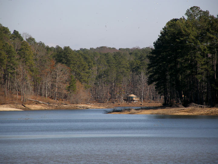 A little further along the trail. Again, looking east towards the campground on the east shore of the lake where the yurts are located.
  I’ve just climbed the first hill and am looking north-north-east towards Picnic Area #2. The pine trees are one source of color now that most deciduous trees have dropped their leaves and the grass has turned brown.
 The trail just as arrive at the gas line right-of-way
 The painted blazes marking the different hiking trails provide some color.
 Looking back towards the pedestrian bridge at the parking lot.
 A large bank of Christmas Fern (Polystichum acrostichoides). This fern occurs in many gullies on along this trail but this is the largest area of fern.
 A close up of the fern.
 The trail along the lake. Most of the trail looks like this at the moment.
  One of the few oaks that hasn’t lost its leaves yet.
(To be continued…)
Click on an image to view a larger image
Related posts:
- Fort Yargo State Park: A Cold, Sunny Day
- Fort Yargo State Park: Déjà Vu
No comments:
Post a Comment